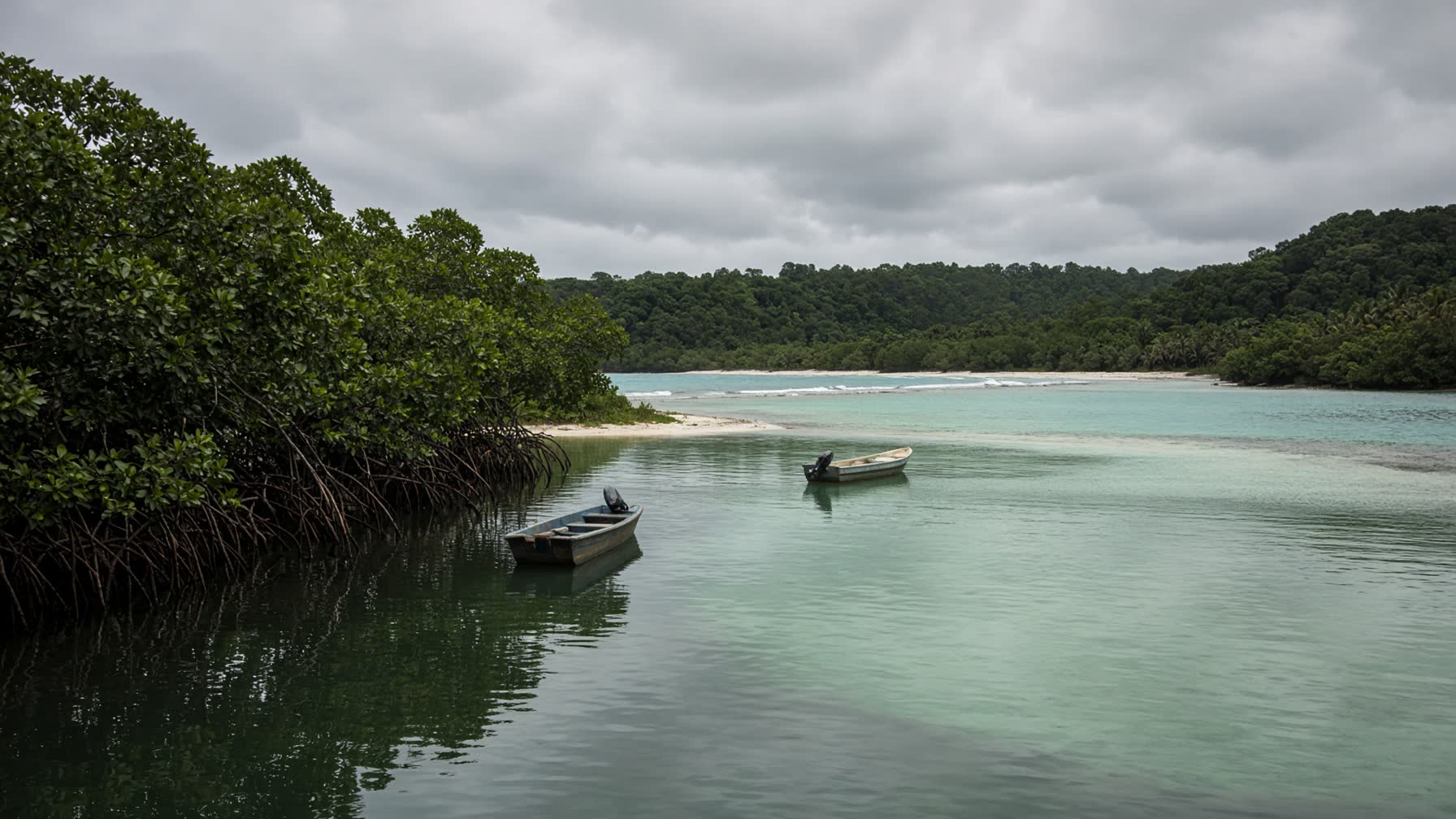
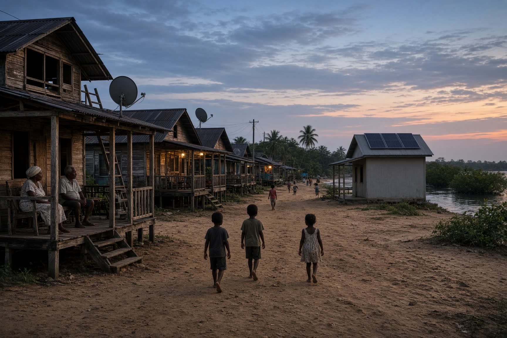
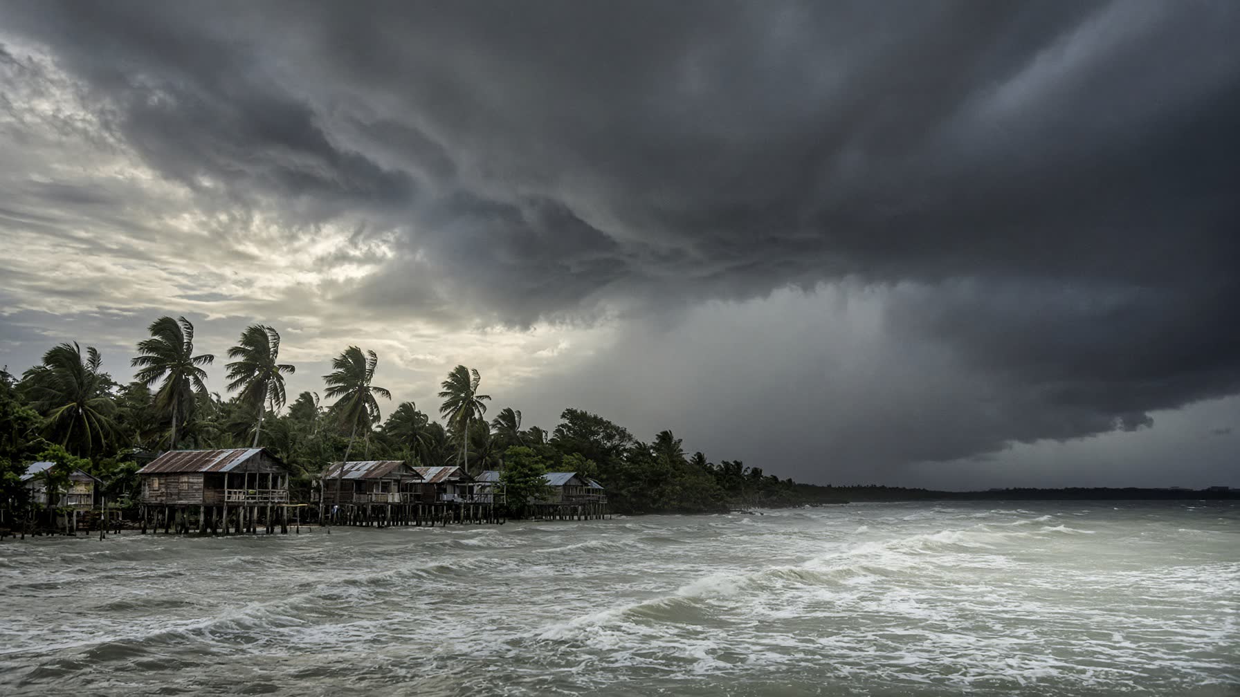
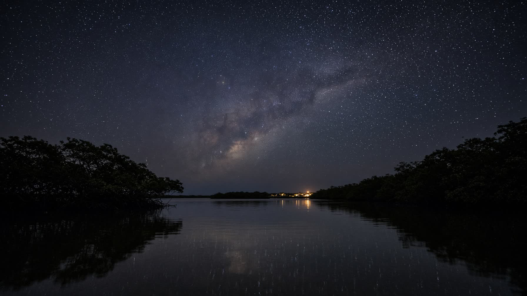
Nicaragua’s Atlantic coast — Costa Caribe — is more than half the country’s land and almost none of its story as told from Managua. Mangrove, lagoon, pine savanna, rainforest. Two autonomous regions: RACCN in the north, RACCS in the south. Peoples who were here before the republic: Miskito, Mayangna, Rama, Garífuna, and Creole.
There is only one town of size in the south: Bluefields, a Creole port on a lagoon, with El Bluff as its harbor. North, Bilwi — Puerto Cabezas. Between and beyond: Pearl Lagoon, the Pearl Cays, the Corn Islands, and, south of Bluefields, a quiet point of deep water called Monkey Point. Punta de Mono.
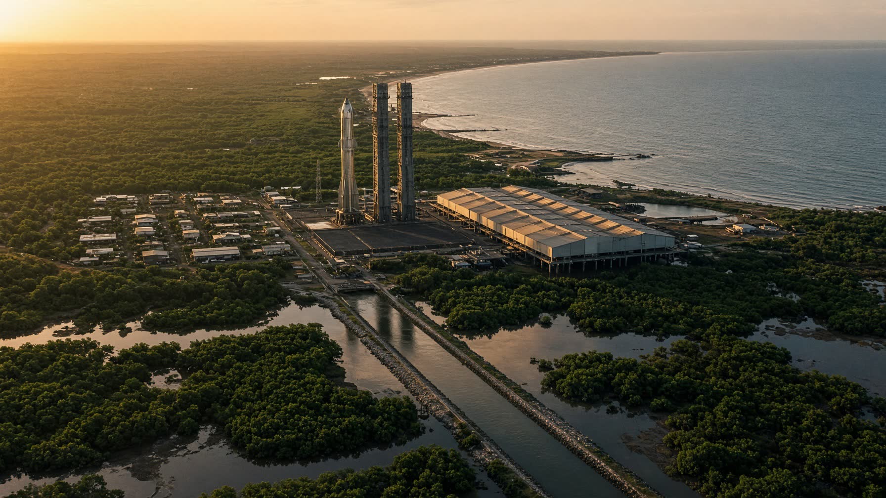
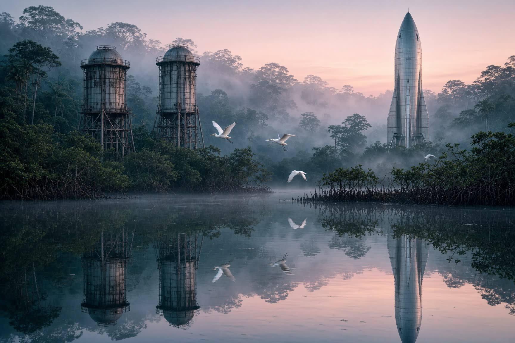
Monkey Point has been studied for a seaport for a generation. Money from far away was promised and receded. The interoceanic canal concession of the 2010s sketched a container terminal here and then dissolved into distrust. The water is still deep. The Rama and Creole communities are still here. The lesson of the canal is not never build. It is never again build as if the coast were empty.
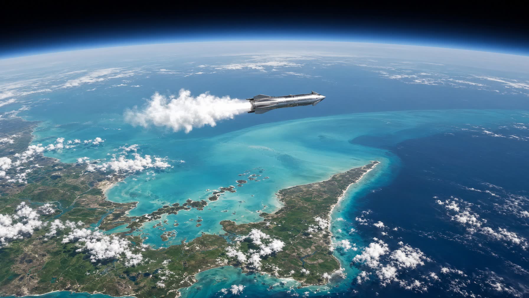
At 11.6°N, a vehicle leaving this shore is already closer to the equator than any American launch site. Earth’s spin here is about 456 meters per second; at Boca Chica, Texas, about 418. The more valuable gift is inclination. Geosynchronous orbit is a belt over the equator. Starting at 11.6° instead of 26° is a cheaper plane change — which is to say more mass to the orbits that pay. East of the beach there is nothing but Caribbean, then Atlantic. That is the trajectory you want for GTO, for trans-Atlantic Earth-to-Earth, for the Moon and for Mars. The Pacific coast of Nicaragua is more developed, and more wrong: eastward you overfly a country; westward you fight the spin of the Earth.